BOM Forecast Gives Sunshine Coast Waters Lighter Wednesday With Residual Easterly Swell
Sunshine Coast waters are forecast to ease through Wednesday, but the Bureau of Meteorology is still pointing to enough easterly swell and morning wind for water users to check conditions.
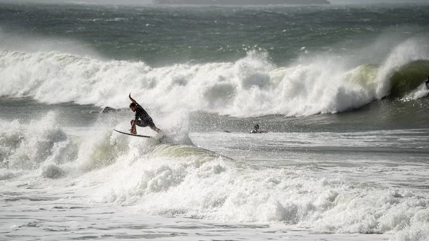
Surfers were out at Alexandra Headland during recent choppy conditions on the Sunshine Coast.
Sunshine Coast waters are forecast to ease through Wednesday, but the Bureau of Meteorology is still pointing to enough easterly swell and morning wind for boaties, paddlers, surfers and beachgoers to keep checking conditions rather than assuming the rough spell has fully cleared.
The Bureau's Sunshine Coast Waters forecast, covering Double Island Point to Cape Moreton, lists Wednesday 22 July winds as east to southeasterly at 15 to 20 knots, decreasing to about 10 knots in the late afternoon. Seas are forecast at 1 to 1.5 metres, dropping below one metre around midday. Swell is forecast from the east at 1.5 to 2 metres, easing to around 1.5 metres later in the evening, with partly cloudy weather.
Those conditions are a clear improvement from the stronger wind and larger coastal movement earlier in the week, but they still leave an active water picture. A 1.5 to 2 metre easterly swell can keep exposed beaches lively, especially where banks, rips and headlands shape the energy. Small craft may find windows improving as seas decrease, yet morning conditions may still feel bumpy before the wind drops later in the day.
ABC reported this week that the Bureau expected Queensland to move into a more stable winter pattern, with hazardous surf in the south-east weakening from Monday. The same report noted that remnant large waves could still create isolated damaging surf areas and that the Bureau was reminding beachgoers to take care. For the Sunshine Coast, Wednesday looks like part of that transition rather than a complete reset to calm.
The practical read is simple. Swimmers should choose patrolled beaches and follow surf lifesaving advice. Boaties should match plans to the latest marine forecast, vessel size and bar conditions. Rock fishers and people walking near exposed edges should treat residual swell seriously because wave sets can remain unpredictable after the main weather system starts to ease.
For surf schools, fishing charters and beachside operators, the improving forecast may bring more confidence later in the day. But staffing, bookings and safety calls still depend on local checks. Marine forecasts are issued for wide areas, while the feel at Mooloolaba, Alexandra Headland, Coolum, Noosa or Caloundra can differ depending on wind angle, exposure and tide.
Thursday is forecast to ease further, with variable winds around 10 knots, seas below one metre and easterly swell from one to 1.5 metres. Friday then points to another change, with south to southwesterly winds turning southeasterly at 20 to 25 knots during the afternoon and showers possible. That outlook means midweek may offer a useful but temporary window before conditions lift again.
The Sunshine Coast's winter beach rhythm depends on reading those windows accurately. The water may look inviting when showers clear and wind softens, but the official numbers still matter. For Wednesday, the Bureau is not sending a panic signal. It is sending a planning signal: conditions are improving, residual easterly swell remains part of the day, and the best decision is the one made with the latest forecast in hand.
More in Weather & Surf
Keep reading
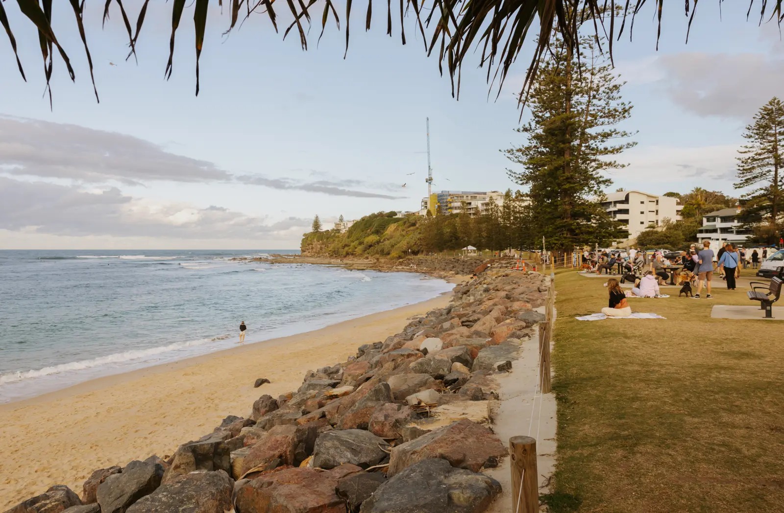
BOM Forecast Gives Sunshine Coast Monday Showers, South-Easterly Swell And Lighter Tuesday Seas
Sunshine Coast beachgoers, fishers and small-boat users started Monday with a marine forecast calling for showers, moderate south-easterly winds and a steady south-easterly swell.
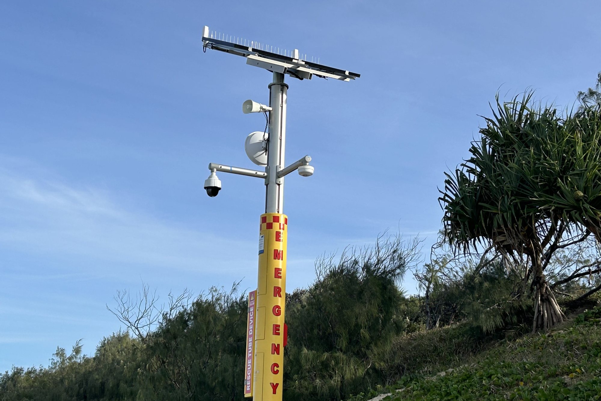
Surf Life Saving Queensland Installs Smart Poles At Sunshine Coast Beach Black Spots
Surf Life Saving Queensland has installed smart-pole emergency beacons at four Sunshine Coast and Noosa locations, adding cameras, help points and rescue equipment to coastal black spots.

How Surf, Weather and Tides Shape Daily Life Here
On the Sunshine Coast, the forecast is more than small talk. It quietly orders the day for thousands of residents.