BOM Forecast Gives Sunshine Coast Waters Sunny Thursday Before Showery Friday
The Bureau of Meteorology is forecasting a sunny Thursday for Sunshine Coast waters before a stronger southeasterly flow and a high chance of showers arrive on Friday.
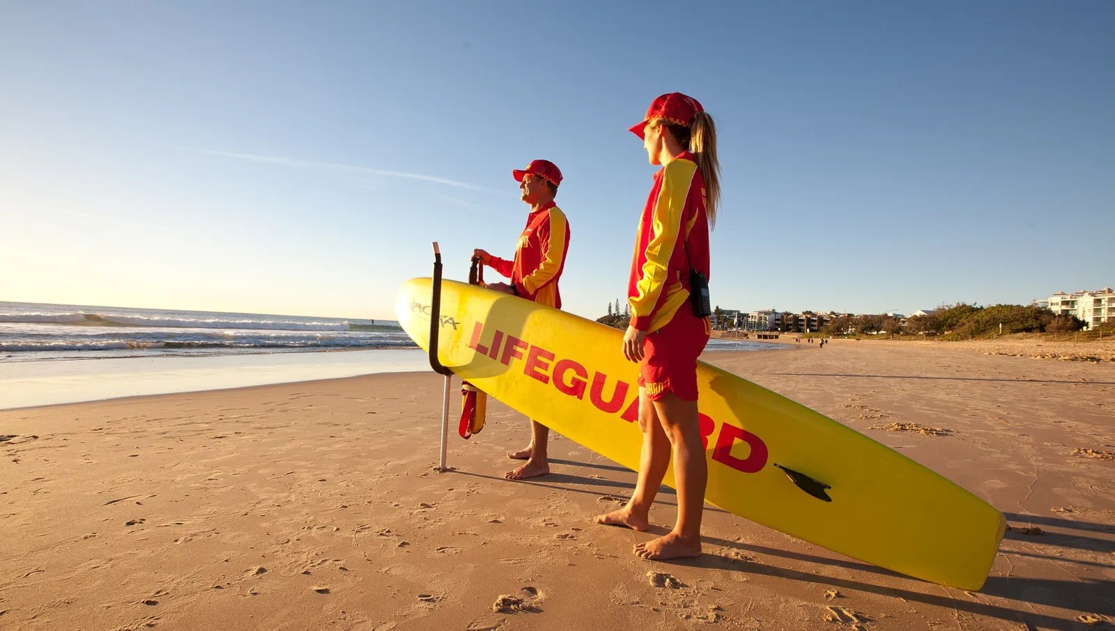
Sunshine Coast Council reminds beachgoers to swim between the red and yellow flags as conditions change.
The Bureau of Meteorology is forecasting a sunny Thursday for Sunshine Coast waters, before a stronger southeasterly flow and a high chance of showers arrive on Friday.
The Sunshine Coast Waters forecast, issued at 9pm EST on Wednesday 29 July, covers Double Island Point to Cape Moreton. BOM says a ridge extends over south Queensland waters, with a 1031 hPa high south of the Great Australian Bight expected to move across southeastern Australia later this week and strengthen the ridge.
For Thursday 30 July, the forecast is for west to southwesterly winds at 10 to 15 knots, turning south to southeasterly during the morning. Winds may reach up to 20 knots offshore north of Maroochydore in the late morning and early afternoon. Seas are forecast around 1m, with easterly swell below 1m and sunny weather.
That is a generally manageable winter marine forecast, but it still calls for local judgement. BOM notes that wind and wave forecasts are averages, gusts can be 40 per cent stronger than the forecast, and maximum waves can be twice the forecast height. For small craft, paddle craft and inexperienced boaters, that warning is the practical fine print behind the headline numbers.
The outlook changes on Friday 31 July. BOM is forecasting southeasterly winds of 15 to 20 knots, seas of 1m to 1.5m, a southerly offshore swell around 1m and an 80 per cent chance of showers. Saturday is also expected to bring southeasterly winds of 15 to 20 knots, seas around 1.5m, and an 80 per cent chance of showers, with southerly swell increasing offshore during the morning.
Beachsafe's Sunshine Beach page on 30 July listed a general hazard rating of 6 out of 10, with hazards including high surf, heavy shorebreak, gutters, flash rips, shallow water and strong currents. It also listed patrol hours for Sunshine Beach from 7.30am to 4.30pm. Beachsafe cautions that surf conditions are variable and should not replace direct observation and advice from local lifesavers.
Sunshine Coast Council's beach safety guidance is simple: swim between the red and yellow flags, check conditions before entering the water and use Beachsafe for real-time information on patrolled locations and conditions. That message is especially relevant in winter, when sunny weather can make the beaches look calm from the car park while rips and shorebreak still create risk.
For surfers, fishers and boaties, Thursday looks like the better weather window of the next two days, particularly before the southeasterly pattern strengthens. For families and visitors, the forecast is a reminder that sunshine is not the same as no hazard. The safest plan is to choose a patrolled beach, check the local signs, ask lifesavers if unsure and treat the Friday shift toward showers and stronger southeast winds as a reason to reassess plans rather than rely on Thursday's conditions.
The same caution applies at river entrances and headlands, where wind direction, tide and local sand movement can make conditions feel different from the open-water forecast. People planning an early trip should check the latest BOM update before leaving, then compare it with what they can see on arrival. A low swell figure is useful information, but it is not a substitute for local observation at the beach or ramp.
More in Weather & Surf
Keep reading
BOM Forecast Gives Sunshine Coast Waters Sunny Week With Light Winds And Low Seas
The Bureau of Meteorology's Sunshine Coast Waters forecast is pointing to a mostly sunny and relatively manageable stretch for the marine zone between Double Island Point and Cape Moreton, with light winds and seas generally around or below one metre through the middle of the week. The official forecast available on August 4 described a high-pressure pattern over south-east Australia and lighter conditions compared with stronger winter southerly patterns that can make offshore and exposed-water plans more difficult.
BOM Forecast Puts Sunshine Coast Waters In Showery South-Easterly Weekend Pattern
The Bureau of Meteorology is forecasting a showery south-easterly pattern for Sunshine Coast waters heading into the weekend, with Friday and Saturday both expected to bring 15 to 20 knot winds and elevated shower chances.
Brent Mickelberg Awards BMT Contract For Mooloolah River Entrance Safety Work
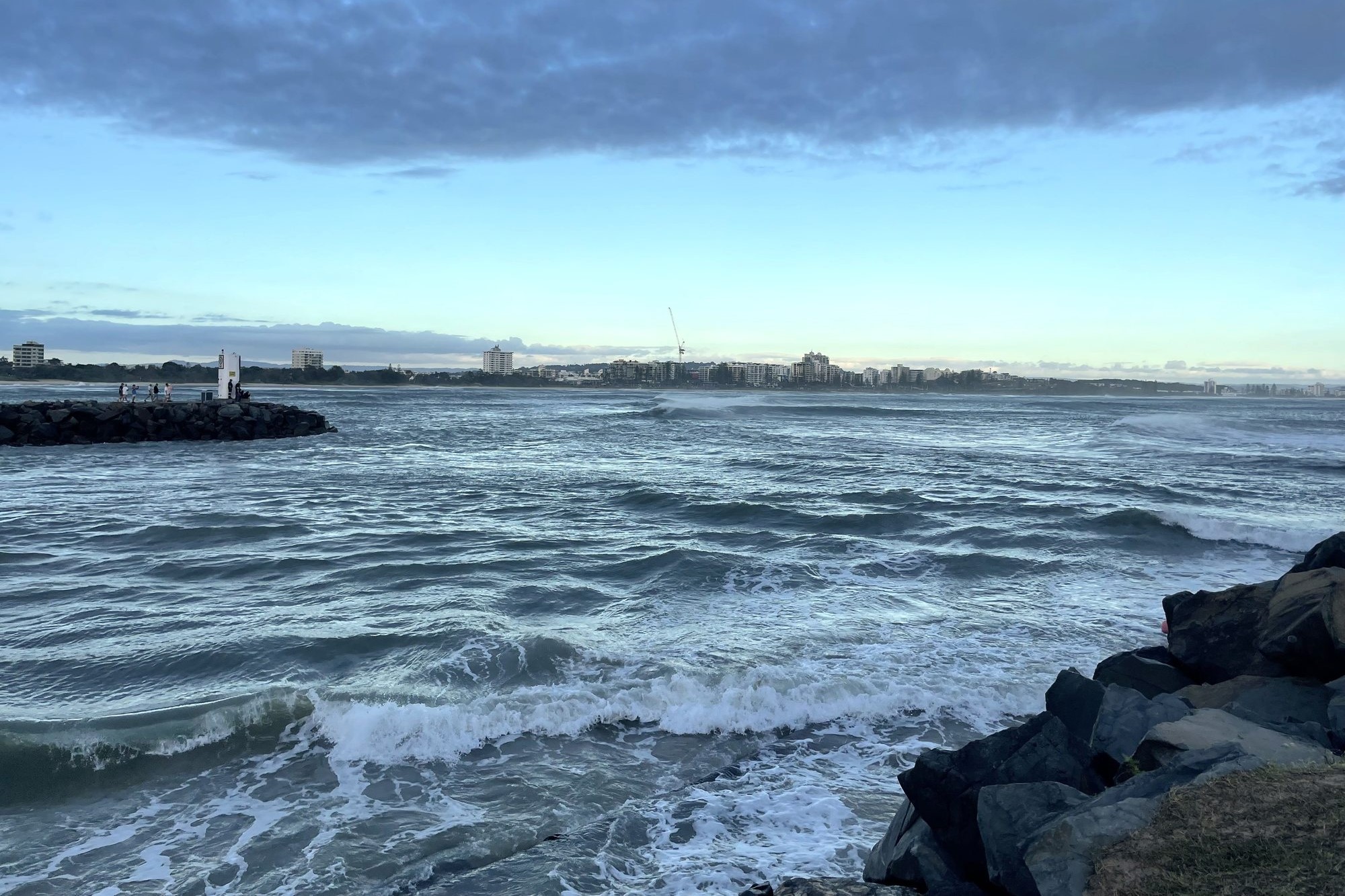
Engineering consultancy BMT will progress design, approvals and procurement for long-term safety improvements at the Mooloolah River entrance, the gateway to Mooloolaba Harbour.