BOM Forecast Puts Sunshine Coast Waters In Showery South-Easterly Weekend Pattern
The Bureau of Meteorology is forecasting a showery south-easterly pattern for Sunshine Coast waters heading into the weekend, with Friday and Saturday both expected to bring 15 to 20 knot winds and elevated shower chances.
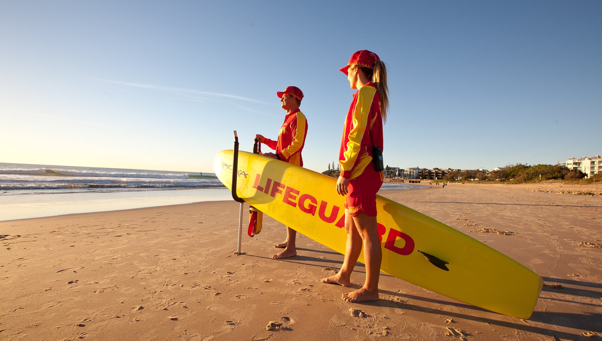
Sunshine Coast Council reminds beachgoers to swim between the red and yellow flags as showers and south-easterly winds affect local waters.
The Bureau of Meteorology is forecasting a showery south-easterly pattern for Sunshine Coast waters heading into the weekend, with Friday and Saturday both expected to bring 15 to 20 knot winds and elevated shower chances.
The Sunshine Coast Waters forecast issued at 3.50pm EST on Thursday, July 30, covers Double Island Point to Cape Moreton. BOM says a ridge over south Queensland waters is strengthening until Sunday, while a 1032 hPa high crossing southeast Australia is expected to reach the Tasman Sea on Saturday and then move slowly east. That setup points to persistent south-easterly flow rather than a brief change.
For Friday, July 31, BOM is forecasting south-easterly winds of 15 to 20 knots, seas around 1m increasing to 1.5m during the afternoon, and southerly swell around 1m offshore. The weather outlook is partly cloudy with a 90 per cent chance of showers. Saturday is forecast to keep south-easterly winds at 15 to 20 knots, with seas around 1.5m and increasing to 1.5m to 2m offshore north of Maroochydore. Swell is expected to be south-easterly below 1m inshore and 1m to 1.5m offshore during the morning, with an 80 per cent chance of showers.
Sunday, August 2, is still part of the same pattern in the published outlook, with south-easterly winds of 15 to 20 knots, seas around 1m to 1.5m offshore and a 60 per cent chance of showers. The numbers are not extreme, but they are enough to make conditions more challenging for small boats, paddle craft, inexperienced crews and families who choose beaches by looking at the sky rather than checking the local conditions.
BOM's marine forecasts are based on averages, and the bureau cautions that wind gusts can be stronger and maximum waves can be higher than the forecast figures. That warning matters in a south-easterly pattern because headlands, river mouths and offshore banks can make conditions feel different from a simple open-water summary. Local observation remains essential, especially around bar crossings and exposed beaches.
Sunshine Coast Council's beach safety guidance is straightforward: swim between the red and yellow flags, read the signs and check conditions before entering the water. That advice is especially important when showers move through and visibility, wind and surf conditions can change during a single beach visit. A beach that looks manageable when a family arrives may feel different an hour later if wind strengthens or a shower line moves across.
For surfers, the south-easterly pulse may create windows worth watching, but the same conditions can produce rips, sweep and messy surf at exposed beaches. For fishers and boaties, the better choice may be to reassess plans against the latest forecast on the morning of travel rather than relying on an outlook saved the night before. Conditions north of Maroochydore are specifically flagged for higher offshore seas on Saturday, which should guide route and timing decisions.
The practical weekend message is not to cancel every coastal plan. It is to treat the next three days as active weather rather than background sunshine. Choose patrolled beaches, check the latest BOM update, talk to lifesavers where available and be conservative with small craft. Winter beach days can still be excellent on the Sunshine Coast, but this weekend's forecast rewards people who plan around the wind and showers instead of pretending they are not there.
More in Weather & Surf
Keep reading
BOM Forecast Gives Sunshine Coast Waters Sunny Week With Light Winds And Low Seas
The Bureau of Meteorology's Sunshine Coast Waters forecast is pointing to a mostly sunny and relatively manageable stretch for the marine zone between Double Island Point and Cape Moreton, with light winds and seas generally around or below one metre through the middle of the week. The official forecast available on August 4 described a high-pressure pattern over south-east Australia and lighter conditions compared with stronger winter southerly patterns that can make offshore and exposed-water plans more difficult.
BOM Forecast Gives Sunshine Coast Waters Sunny Thursday Before Showery Friday
The Bureau of Meteorology is forecasting a sunny Thursday for Sunshine Coast waters before a stronger southeasterly flow and a high chance of showers arrive on Friday.
Brent Mickelberg Awards BMT Contract For Mooloolah River Entrance Safety Work
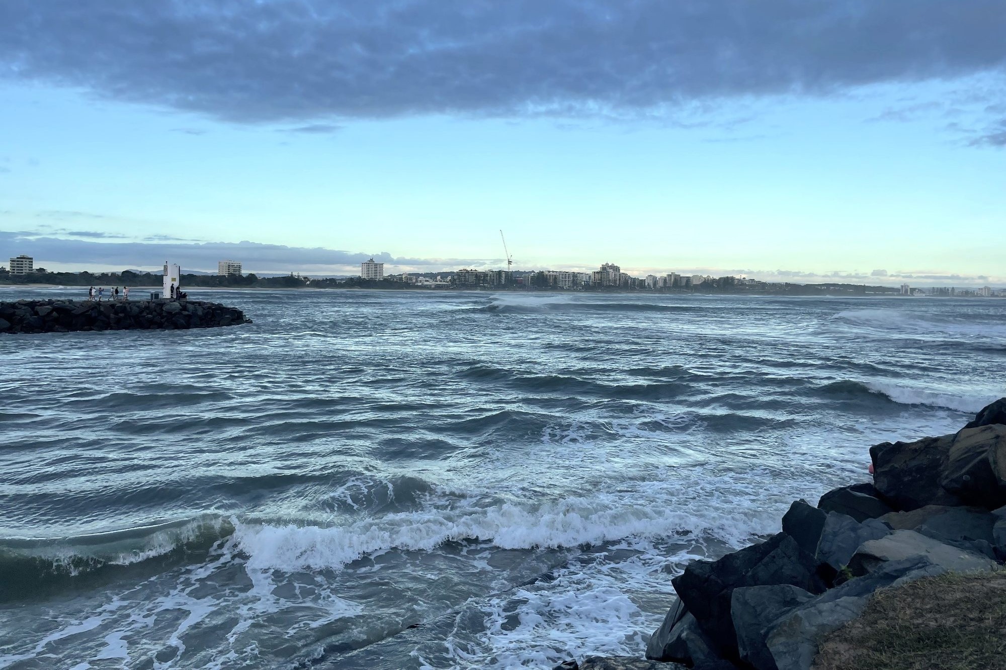
Engineering consultancy BMT will progress design, approvals and procurement for long-term safety improvements at the Mooloolah River entrance, the gateway to Mooloolaba Harbour.