Dark Sky Reserve Puts The Hinterland On The World Stargazing Map
A formal dark sky designation across parts of the Sunshine Coast hinterland gives long-running lighting and habitat campaigns a new international anchor.
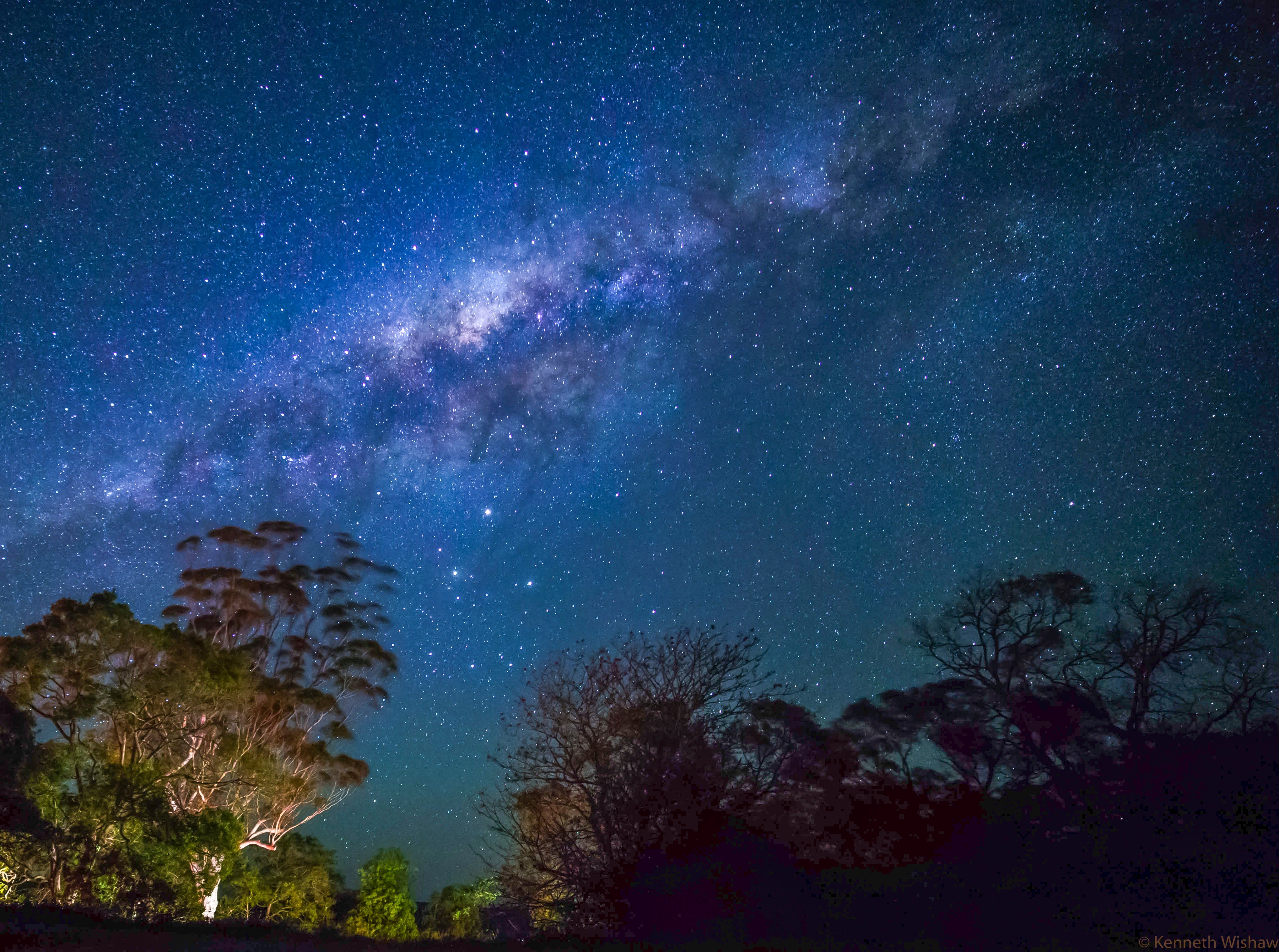
Photo for editorial illustration.
The Sunshine Coast hinterland has been formally recognised under an international dark sky framework, capping years of work by amateur astronomers, conservation groups and council lighting officers who have quietly pushed back against the slow creep of stray light across the ranges.
The designation does not change planning law on its own, but it gives existing lighting guidelines real weight. Streetlight retrofits, signage rules and outdoor commercial lighting are all expected to be reassessed against the new benchmark, particularly around the buffer zones close to national park boundaries.
Beyond the headline, the reserve is a habitat story. Nocturnal species across the hinterland, from gliders to micro-bats and ground-dwelling insects, respond directly to ambient light levels, and quieter night skies are now understood as part of basic ecosystem maintenance rather than a niche concern.
Local tourism operators are already building winter stargazing packages around the announcement, with rangers cautioning that the reserve only works if visitor behaviour matches the standard: shielded torches, no drone lights and a willingness to let the sky do the talking.
More in Environment
Keep reading

Queensland Shark Research Project Puts Sunshine Coast Beach Safety Under Microscope
A $2.4 million Queensland shark research project is now part of the beach-safety conversation for the Sunshine Coast, with state-backed scientists examining populations and behaviour.
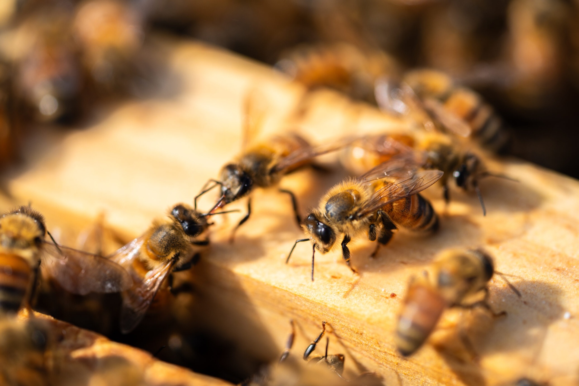
UniSC Volker Herzig Study Finds Spider Venom Peptides Could Protect Honeybees
A University of the Sunshine Coast-led study has identified biodegradable spider venom peptides that killed varroa mites without harming honeybees in laboratory testing.
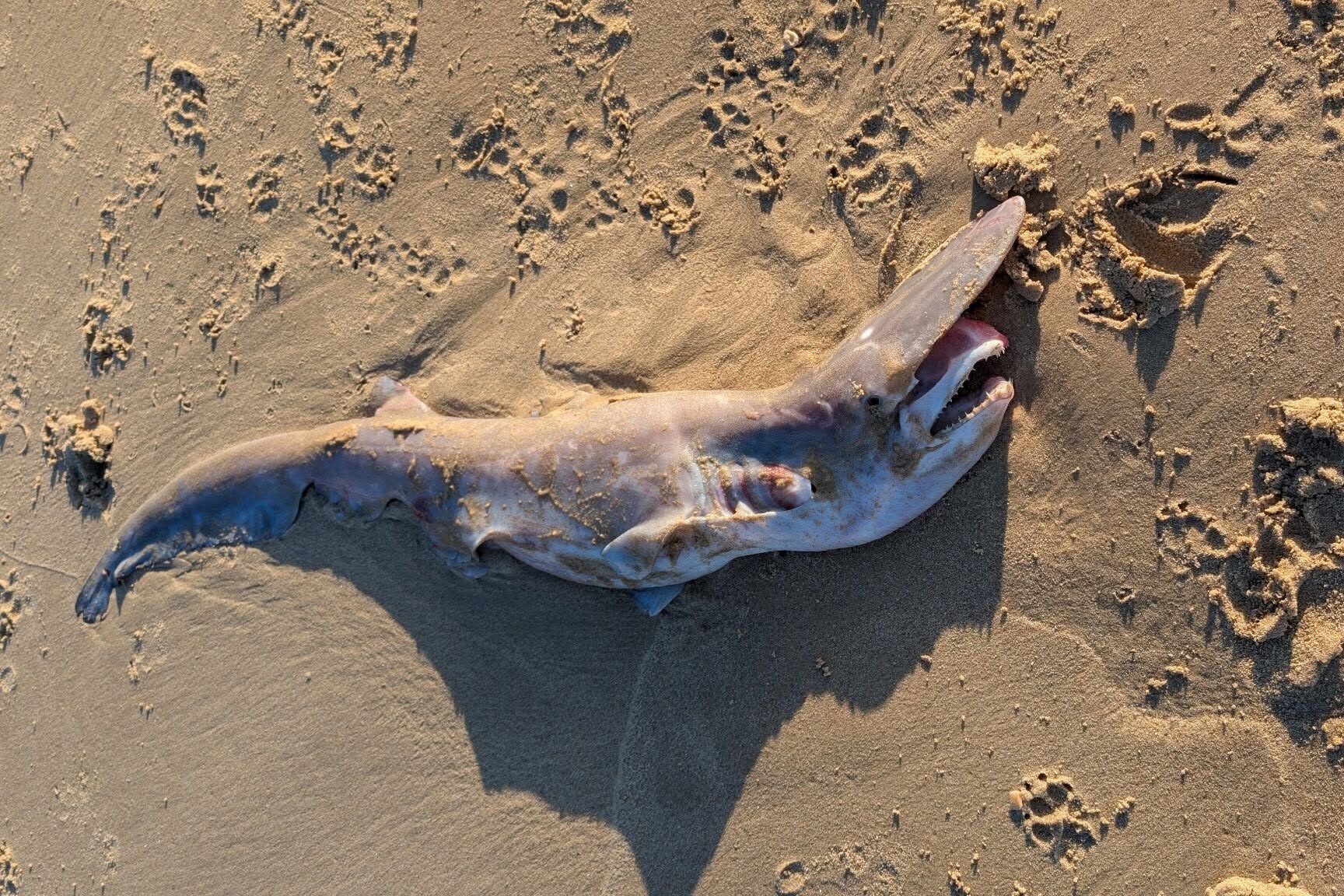
Coolum Beach Rare Deep-Sea Shark Find Becomes Queensland First For UniSC Researchers
A rare deep-sea shark found near Stumers Creek at Coolum is being treated as a significant scientific record and is believed to be the first known Queensland sighting of the species.